Side Imaging training Posted on July 15, 2018
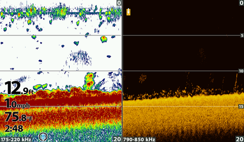
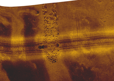
Side imaging training
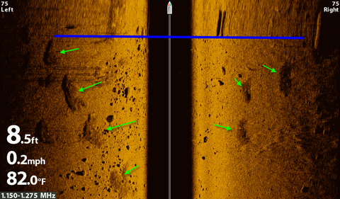
Above the black is smeared because I was turning the boat.
The green arrows shows patches of weeds in boulders and yes this is a good place to fish!
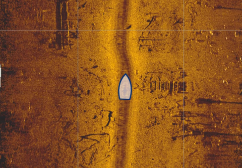
Catching fish you see on side scan is tough since they can move before you get to them but I have a great example.
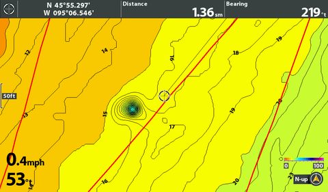
I was fishing for walleye with spinners, worms and a bottom bouncer in the weeds. I thought I saw the jackpot in the red circle. I moved the cursor over to the fish and created a waypoint on them. The green arrows point out the weeds.
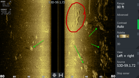
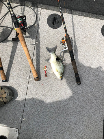
I then trolled through the waypoint in about 1 minute and caught a white bass. Not what I wanted since I was hunting walleyes for an upcoming tournament but a nice example of how to use side scan.
Side imaging training
Above the black is smeared because I was turning the boat.
The green arrows shows patches of weeds in boulders and yes this is a good place to fish!
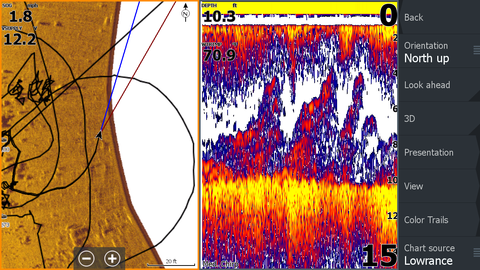
Just another example on why down imaging helps sonar interpretation. The weeds look similar to fish.
In this one the fish look like weeds.
Sonar doesn't show you all the fish below the boat, watch this video to see why.
Watch this short video to show you how to manage errors on your AutoChart Live map.
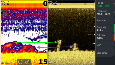
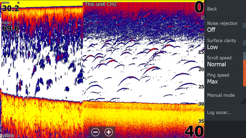
If you use the Airmar TM 150 on a Lowrance I have found the Custom setting of single frequency 105 kHz gives me the best results. However you need to turn off the noise rejection to get those results.
The left side of this image has the default setting of Noise Rejection set at low and the right side is the Noise Rejection turned off. I don't know why this transducer doesn't perform well with the Noise Rejection on.
Short video using maps to find fishing spots and confirmation with an Aqua-Vu.
I have used home work for years as i prepared for fishing tournaments, this is just one short example.
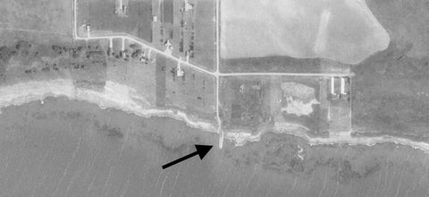
This side imaging image is of a rock point which is man-made.
This rock point is from Devils lake, ND which recently rose and flooded many acres of land.
This image is what it looked like from the air before the water rose. the image is from a Doctor Sonar map chip.
This video is footage from my Aqua-Vu of the tip. Good place to fish?? And somebody left their beer can, bad boy! 30 foot deep and thick ice so not much light for the camera.
Side imaging shows really nice images but how about the real deal and see what it really looks like.
This image shows the shadow of a tree very well even though the tree shows up poorly.
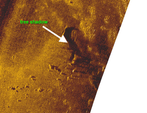
This Aqua-Vu footage shows what the tree looks like with the rocks nearby.