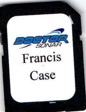

Enhanced satellite image on an encrypted SD card for current Lowrance models. These images are overlaid with the pre-inundation Corp of Engineering maps of the lake showing in great detail tree areas, roads, and more.
If you fish Francis Case trees this is the map you want.
Or give us a call at 651-982-1401
HDS Pro, Live & Carbon
HDS Gen 1-2-3
Elite TI, TI2
At this time the maps do not work in the Hook2 units. If and when in the future they will we will let everyone know.
Built-in Insight Maps will overlay the satellite image

First map review
I want to thank you for sending me Lake Francis Case tree chip. In only three days of use it's expanding my fishing areas. Being on Lake Francis Case for last 22 years of my life fishing trees, this is the single greatest break though we've had in technology. This truly makes me a more productive fishing guide in spring summer and fall.
Thanks,
Joel Vasek South Dakota Walleye Fishing Guide Service and Pheasant hunting Outfitter - MVGS


