
We've added new features and additional layers for those people with Lowrance Touch screen units. You can view the lake at a normal pool level then at water levels that shows detail not mappable with contours with current technology.
Touch screen technology allows us to use selectable layering for complete coverage with the chosen option.
In this layer the ground above normal pool is the tannish green and the purple is ground to 30 foot below normal pool so you can see the structure.


And still show the lake in current conditions.
Enhanced satellite image with topographical contours overlaid on an encrypted SD card for current Lowrance models.
Or give us a call at 651-982-1401
HDS Live & Carbon
HDS Gen 2 Touch and Gen 3's
Elite TI & TI2's.
.York Island
.


Testimonial
I just wanted to let you guys know how happy I am with your lowrance sd chip maps. They work incredible on my lowrance carbon 16 and also my prior gen 3's.
I bought the 3 sd card set with the 1949, 1980 and 1990 maps. How it overlays the satellite imagery from back then in such good clarity is a game changer for finding areas that will hold big walleyes.
We finished high in the last 4 Cabela's MWC tournaments at devil's lake finishing 4th 2 years ago and we were able to win it this year 2019. Funny thing is the 1st 3 tournaments we used the 1949 and 1980 cards 5% of the time and your 1990 card the rest. Because of the continued dropping water levels I had to use the 1949 card almost exclusively this past tournament and without it it would be a challenge. It worked every bit as good as the 1990 map.
Your cards is all I use while prefishing for many days and also during the tournament on my chart page. The way you can find submerged roads, rock piles, old shorelines, ditches, bridges and everything else is awesome.
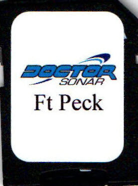
On another note I bought the Fort Peck Montana satellite card from you this spring for our trip at the end of may. The map worked awesome there as well. The setting you have where it shows the reservoir 30 feet low showing us the uncovered shore was all we needed to find a ton of walleye and many big ones. Also being able to overlay the contour lines over that shore was great. It is what we used on our lowrance chart page the entire trip.
Look forward to using your Lake oahe card next June.
Thanks again for great map cards.
Chad Lunde